



Hurricane Polo weakened after making landfall on Mexico’s west coast, but the storm continued to pose serious risks across northwestern Mexico and sent additional moisture toward the flood-affected U.S. Southwest. The system struck Baja California Sur on September 29, 2026, after strengthening over the eastern Pacific and reaching major-hurricane intensity.
According to the National Hurricane Center, Polo made landfall near Las Barrancas, a small community on the peninsula’s west coast. The storm was likely a Category 2 hurricane at the time, with estimated maximum winds of between 90 and 95 knots.
Polo weakened as it crossed Baja California Sur, but its effects did not end when the system moved away from the coast. Heavy rainfall, dangerous winds, coastal flooding, high surf, rip currents and the possibility of landslides remained among the principal hazards identified by forecasters.
Storm crosses Baja California Sur
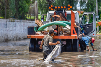
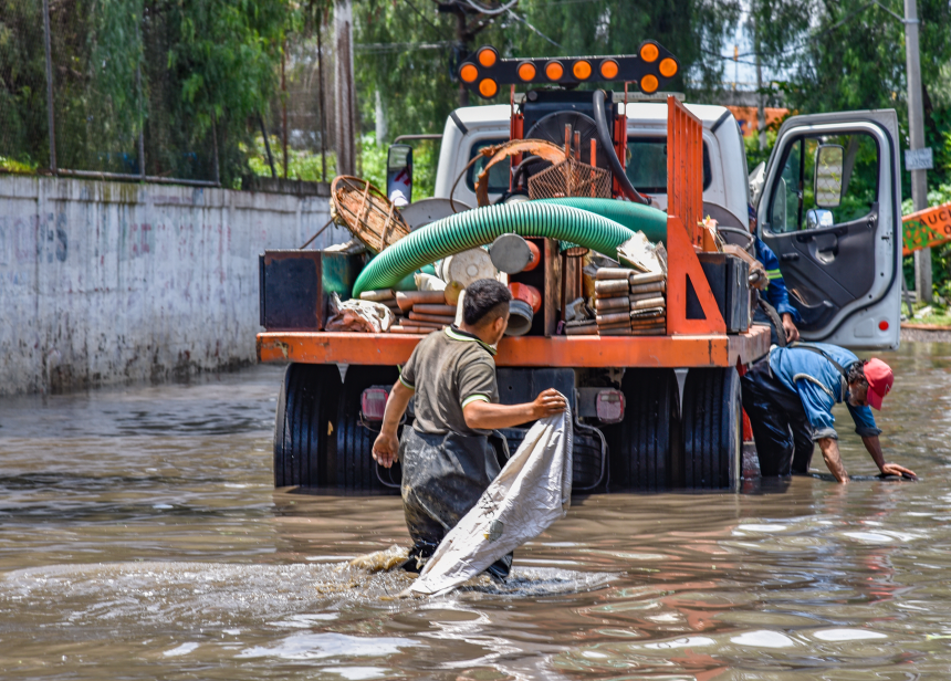
The hurricane’s passage brought the greatest immediate concern to parts of Baja California Sur, where the National Hurricane Center had warned of rainfall totals between 4 and 8 inches, with locally higher amounts. Such rainfall can quickly overwhelm drainage systems and trigger flooding, particularly in areas exposed to mountainous terrain and runoff.
The agency also warned of life-threatening flooding and mudslides, along with coastal inundation and dangerous marine conditions. Even as wind speeds declined after landfall, the combination of saturated ground, heavy rain and rough seas continued to create hazards for communities along the peninsula and nearby coastal areas.
After crossing the peninsula, Polo moved over the Gulf of California. Forecast guidance cited by the National Hurricane Center indicated that the system could reach mainland Mexico near Guaymas, in the state of Sonora, before weakening further over land.
Remnants carry moisture toward Arizona
The storm’s cross-border significance became clearer as its circulation weakened over Mexico. The Associated Press reported that Polo’s remnants were moving across northwestern Mexico while directing additional moisture toward Arizona and neighboring areas of the United States.
That moisture raised concerns in portions of the U.S. Southwest that were already dealing with flooding. Rainfall from a weakening tropical system can extend far beyond the location where a hurricane first makes landfall, creating new flash-flood risks even after the storm no longer meets hurricane-strength criteria.
The situation illustrates how a Pacific hurricane affecting Mexico can produce consequences across national borders. The storm formed and intensified over the eastern Pacific, struck Baja California Sur, crossed northwestern Mexico and then continued influencing weather conditions in the United States through its remaining moisture.
Flooding remains the central concern
For residents and authorities in affected areas, the main danger was not limited to the hurricane’s strongest winds. The National Hurricane Center’s warnings emphasized the combined threat of intense rainfall, rapidly rising water, mudslides and coastal impacts. These hazards can persist while a storm is weakening, especially when its remnants interact with existing wet conditions.
In Mexico, the areas facing the most direct consequences included Baja California Sur and parts of northwestern Mexico along Polo’s projected path. In the United States, the focus shifted toward Arizona and nearby parts of the Southwest, where additional rain could worsen conditions in locations already affected by flooding.
The storm’s movement also underscored the importance of monitoring official forecasts after landfall. A reduction in wind intensity does not necessarily mean that the danger has passed. Rainfall and flooding can continue as a tropical system travels inland, while coastal risks may remain in surrounding waters and shorelines.
Hurricane Polo therefore became a regional weather event rather than an isolated Mexican landfall. Its most severe impacts were expected near the storm’s path in Mexico, but its remnants extended the threat into the United States, linking communities on both sides of the border through the movement of tropical moisture and heavy rain.